|
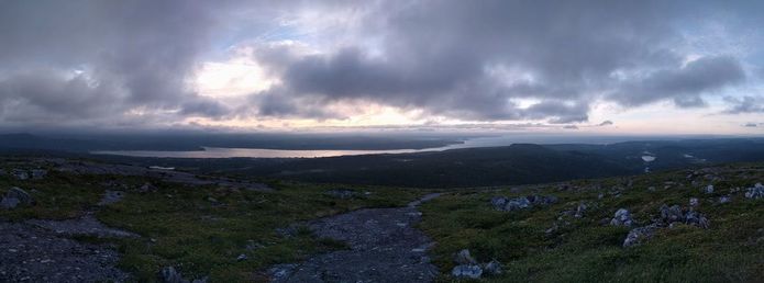
The Avalon Peninsula of Newfoundland has some great coastal scenery; the major area it is lacking in is summit views. This all changed last night when we visited some friends at Butter Pot provincial park.
Located about 50 km east of St. John's, this provincial park is well used by RV'ers but not so much by tenters. We were invited by friends to hike the trail and I had low expectations; was I ever wrong. It provided a good workout, the trail itself was in great shape, there were sections of bedrock to walk over, and it provided a great summit view of Conception Bay, and the central and Eastern parts of the Avalon. Check out the photos below, I am also including the trailhead coordinates because it is a bit difficult to find.
Trailhead: 47.39438, -53.06306
0 Comments
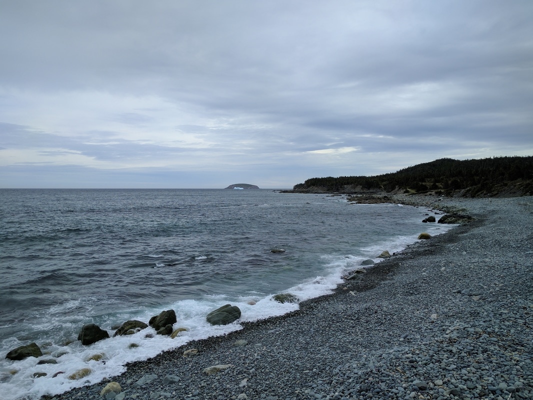
Summer has arrived and the Gout in my foot has finally subsided; time to get out and enjoy the East Coast Trail. Last weekend we were in the usual predicament of only having one vehicle, so we decided to do a "loop" walk. The path of choice for us was from Witless Bay to Mobile (also known as Beaches path) and returning on the pavement back to our vehicle. In total, it was a great 11.4 km of walking, and the views along the many rocky beaches were fantastic. Check out the pics, elevation profile, and interactive map below.
Over the Thanksgiving (Canadian) break this year we decided to visit family in Twillingate, Newfoundland. In anticipation of eating two Turkey Dinners (not a typo) I decided to go for a run on the Top of Twillingate Trail.
One of my favourite hiking trails to do on the Southwest Coast of Newfoundland is the Starlight Trail (named after the former Starlight Motel). The trail gives great views of the Long Range Mountains and Codroy Valley without a lot of effort with the total distance being less than 5 km and maximum elevation is about 350 m. |
AuthorSheldon Huelin is a proud Newfoundlander and enjoys all things outside. Archives
July 2021
Categories
All
|


 RSS Feed
