|
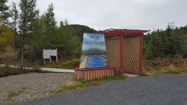
Over the Thanksgiving (Canadian) break this year we decided to visit family in Twillingate, Newfoundland. In anticipation of eating two Turkey Dinners (not a typo) I decided to go for a run on the Top of Twillingate Trail.
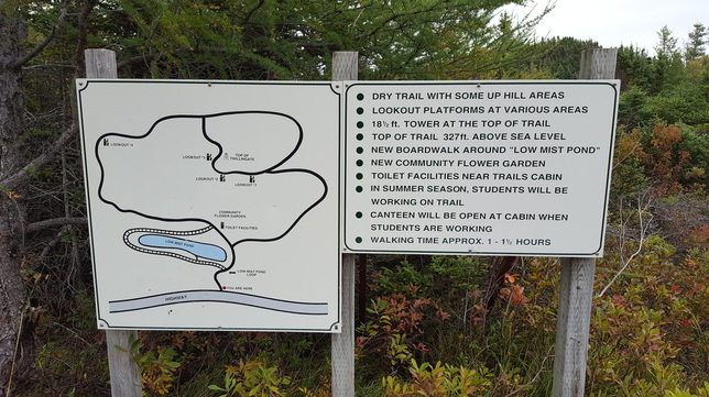
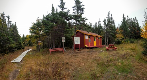
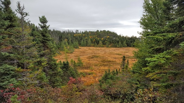
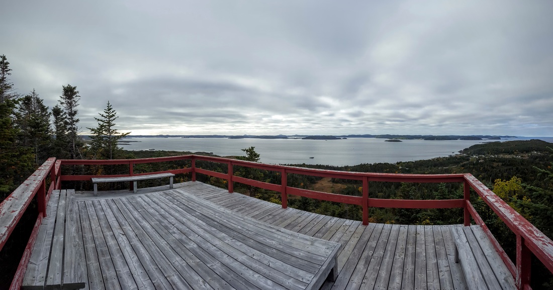
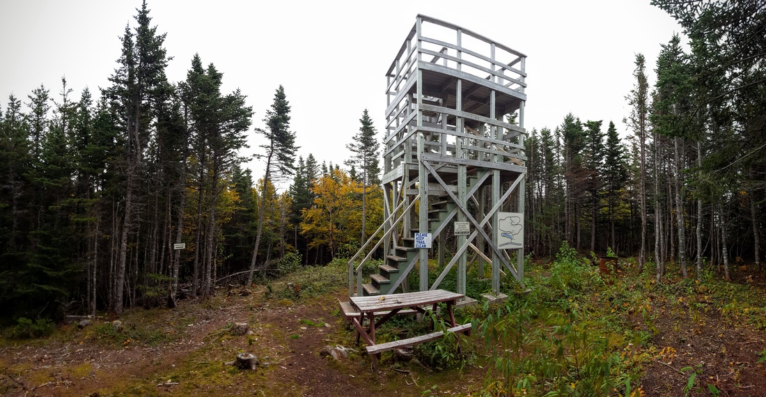
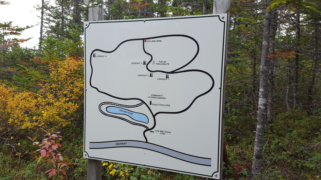
After going through the entrance and some steps, the first 300 km or so is relatively flat and overall the trail is in good shape with some nice views of wetland areas. Eventually a wooden building appears with toilet facilities, although I have never used them because it is a relatively short hike.After the relatively flat part, some climbing occurs. It is somewhat steep, but it only lasts for 500 m. During the climb some lookouts are present with eventually the Top Of Twillingate lookout at an elevation of 100 m (327 ft).
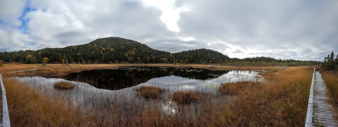
The descent from the Top of Twillingate trail has about the same grade as the way up. Somehow I managed to take the wrong trail but it was in decent shape. Eventually I connected with the Low Mist Loop that gave me some great views of the the Top of Twillingate Hill and Low Mist Pond.
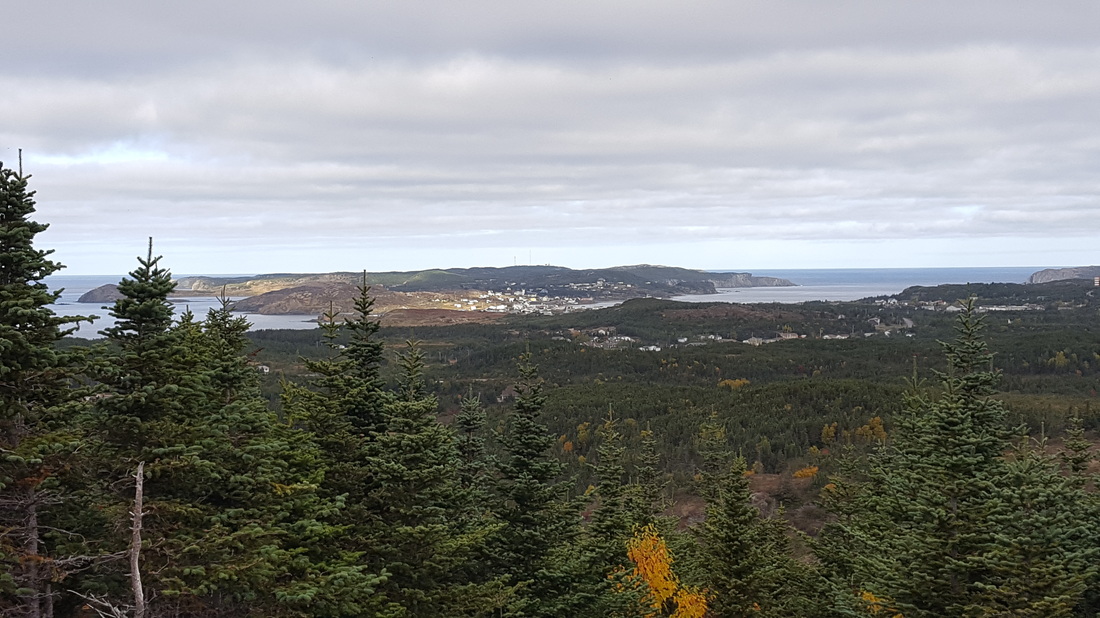
In summary, the Top of Twillingate trail is a great short hike that provides terrific views of Twillingate Island. Also, if you are in the area and are in the mood for a boat tour, check out Iceberg Man Tours.
How to Get There: Drive along Route 340 and after about 1 km after the causeway take a left to get on Bayview St. After about a 4 km drive the trail head will be on the right.
Trail Head Coordinates: 49.619258, -54.754145
Track (GPX): Click here.
Elevation Profile:
Track Distance: About 3 km.
Elevation: 100 m, ascent is about 70 m. Time to Complete: Hike to the scenic lookout takes about 1 hour at a leisurely pace. Cellphone Coverage: Yes. Helpful Tips:
0 Comments
Leave a Reply. |
AuthorSheldon Huelin is a proud Newfoundlander and enjoys all things outside. Archives
July 2021
Categories
All
|




 RSS Feed
